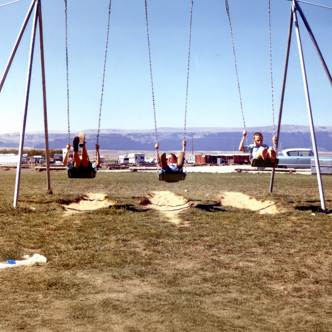
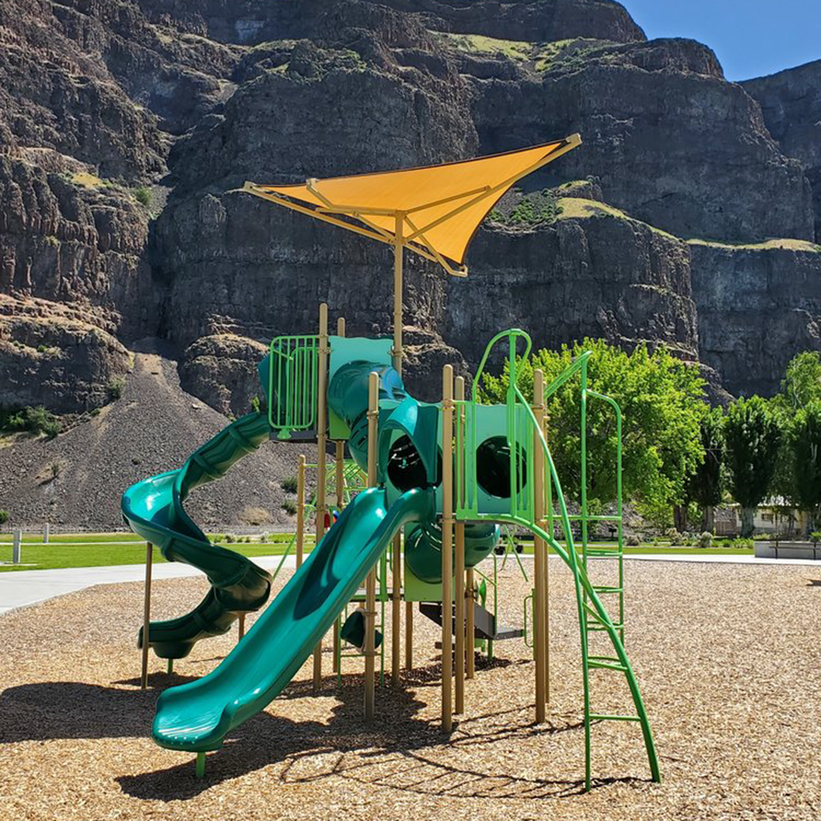
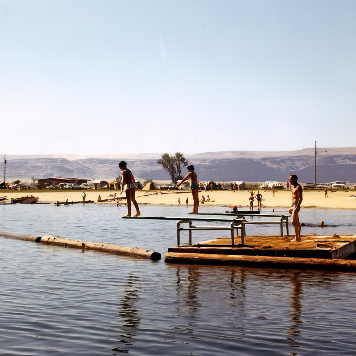
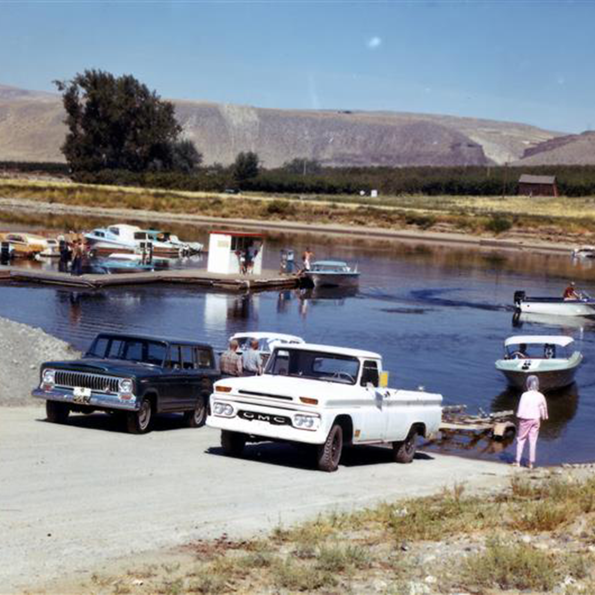
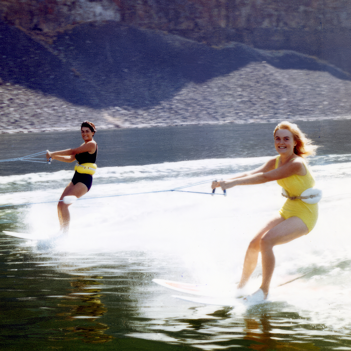
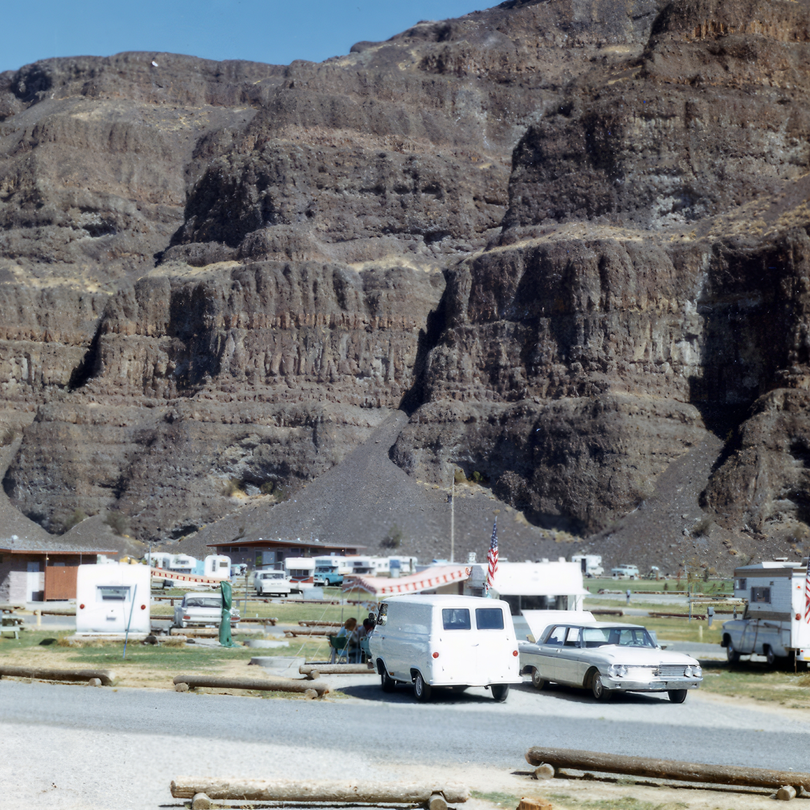
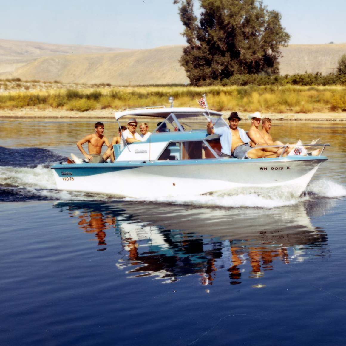
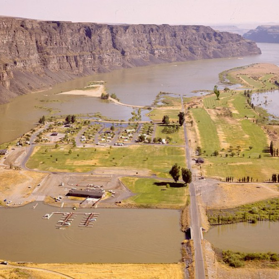

We’re shining up our 19 Columbia River-side recreation areas for another season of safe, family-friendly fun. We’ve got the “ingredients” – the mighty river, boat

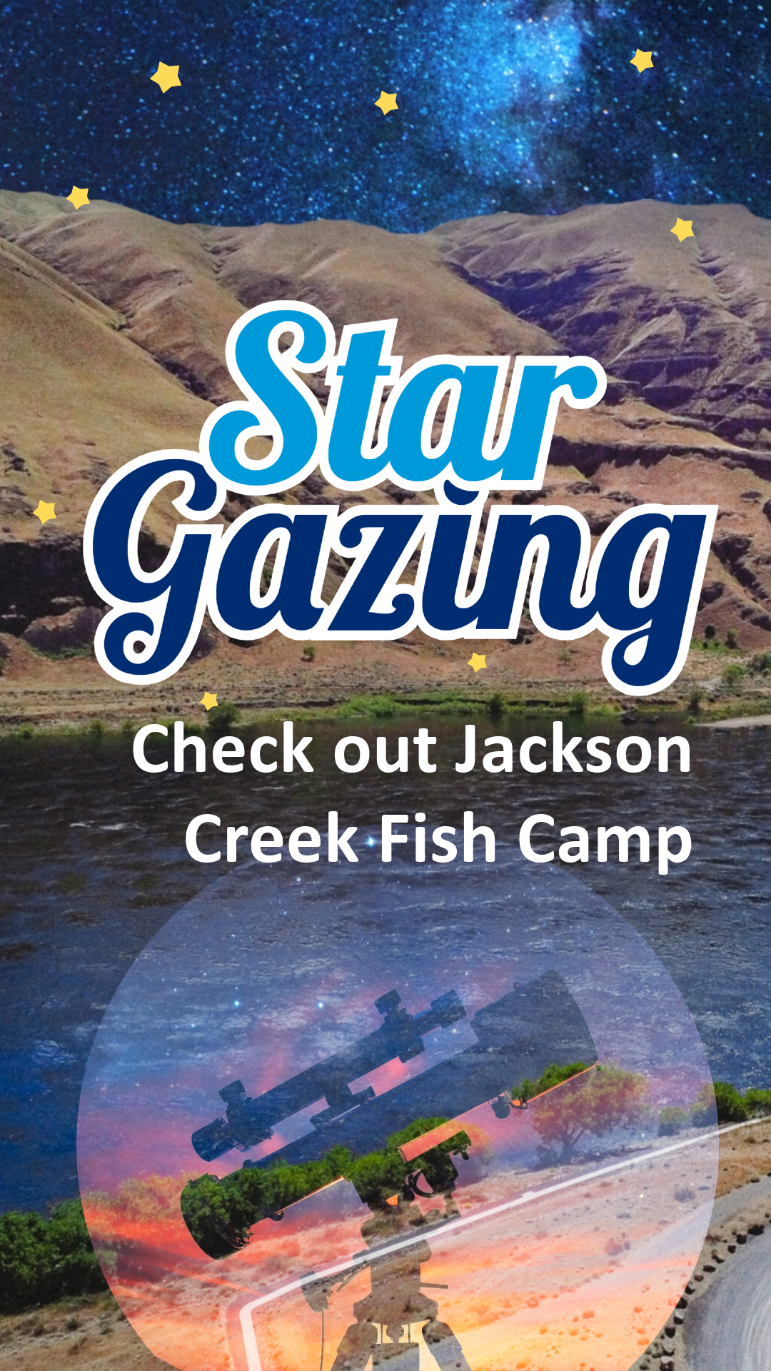
Time to pull on a jacket, grab a rod and reel and/or a pair of binoculars and head to Grant PUD’s Columbia River recreation areas
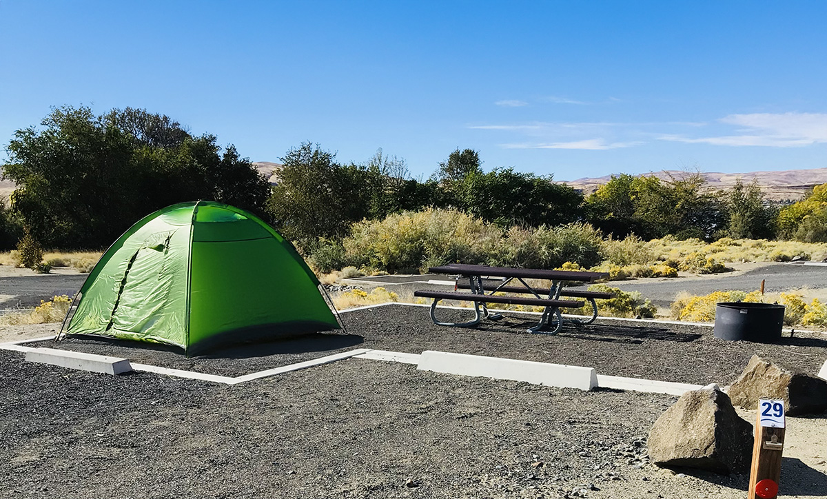
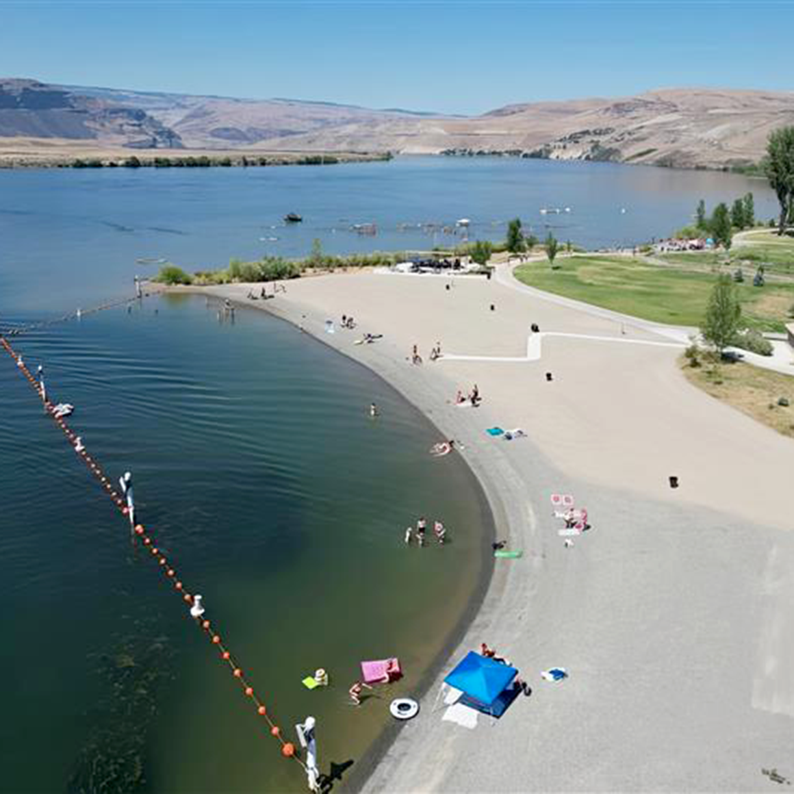
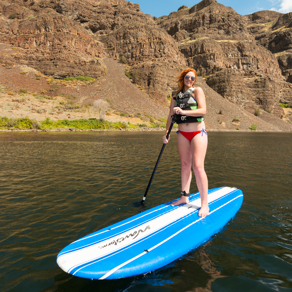
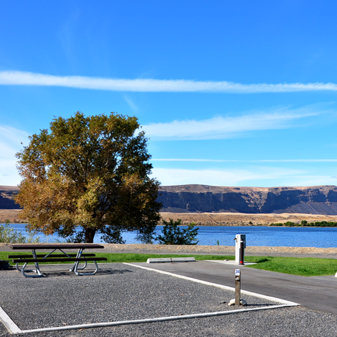
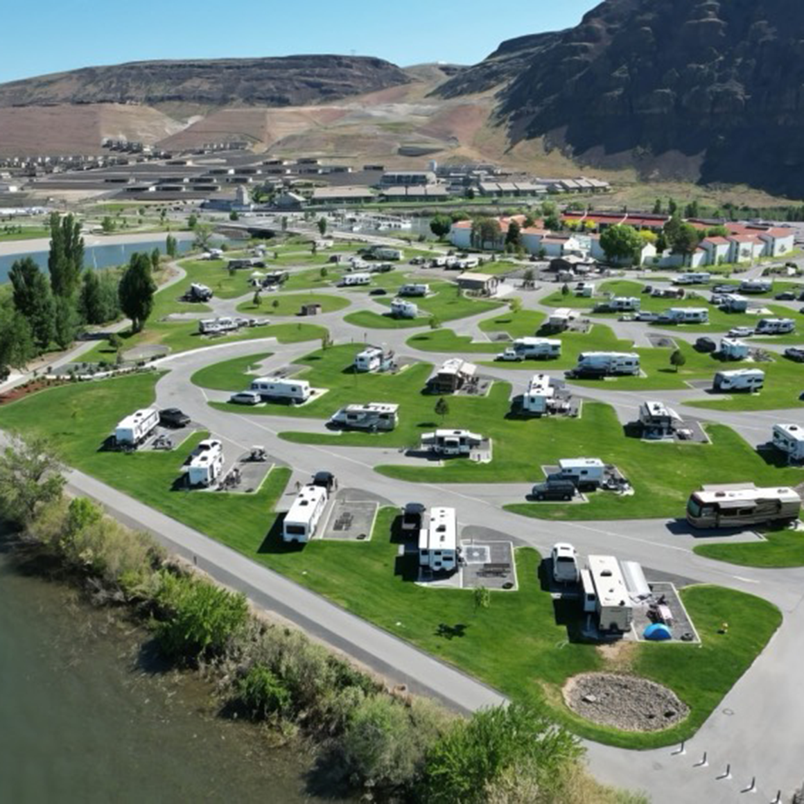
With the height of summer behind us and kids back in school now is, arguably, the best time to visit any of Grant PUD’s 19
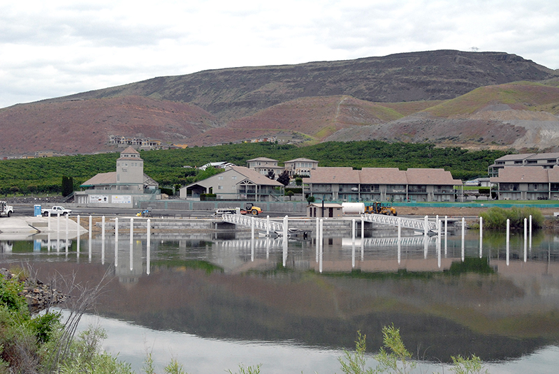
Did you notice some unusual activity along the shorelines near Crescent Bar and Sunland Estates last year? Did you wonder what was happening? Under the